BY TAYLOR SARRATT
PHOTOS BY DALSY TURNER
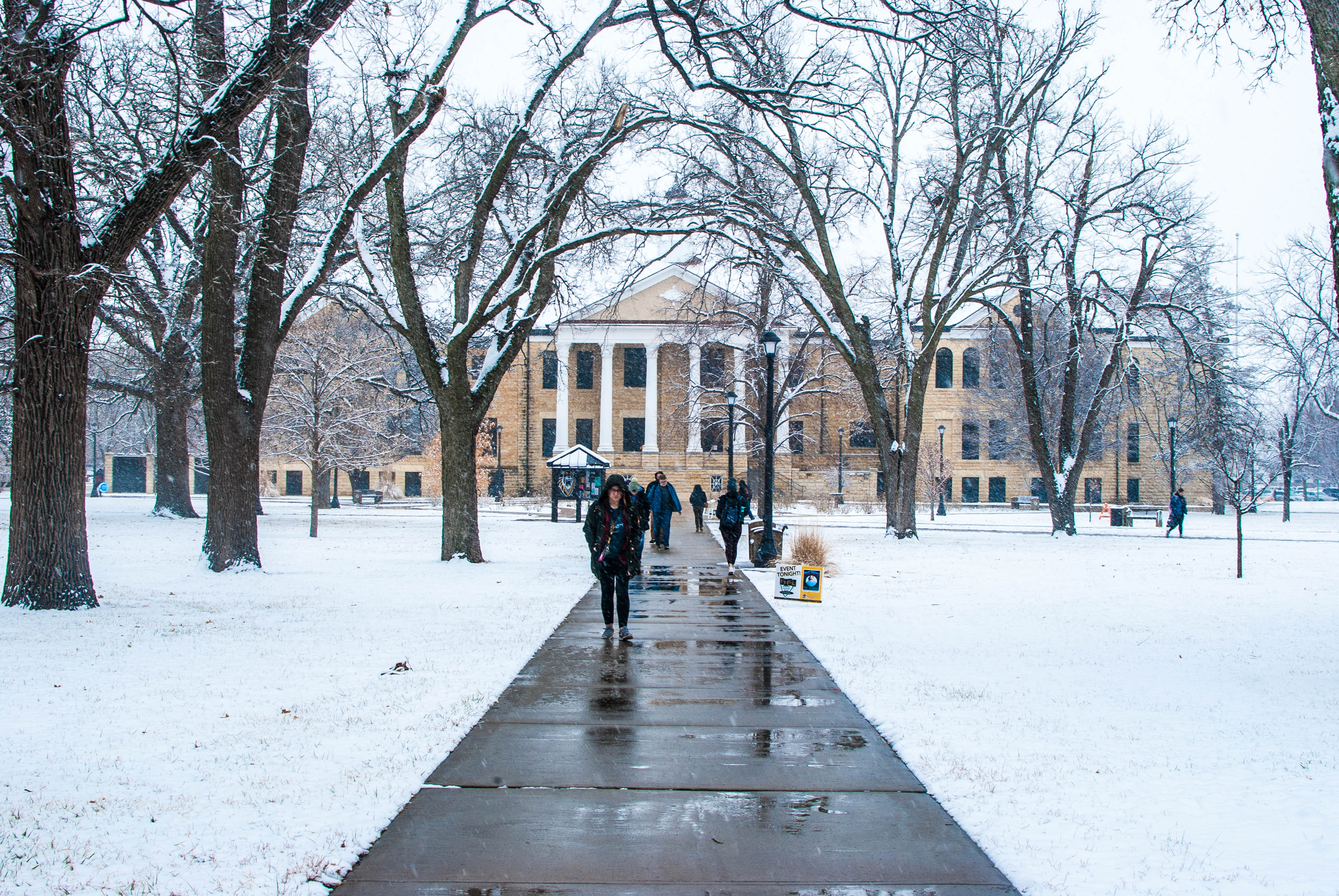
With snow falling Monday evening and all day Tuesday, and higher temps expected this weekend the weather in the midwest is unpredictable and wild, so it’s best to keep updated on what the weather is going to be each day. As such the National Weather Service has given TMN an in-depth weather forecast for the week. Here’s what students of FHSU, and residents of Hays should expect this week, provided by meteorologist Ray Burgert.


Wednesday: There will be areas of dense fog before 10 am. Afterward, it’s going to be cloudy, gradually getting to becoming mostly sunny, with a high near 40°F. Northwestern winds around 5 mph are also expected.
Wednesday Night: There will be areas of freezing fog after 1 am. It’s going to be mostly cloudy, with a low around 24°F, with Southeastern winds around 6 mph.
Thursday: Watch out for freezing fog before 7 am. It’s going to be mostly cloudy, with a high near 42°F, and southwestern winds around 6 mph.
Thursday Night: It’s going to be partly cloudy, with a chilly low of 26°F. And Southwestern winds of around 5-8 mph, changing directions to Northwest after midnight.
Friday: It’s going to be sunny, with a high around 44°F.
Friday Night: Expect a low around 29°F. With it being a partly cloudy night.
Saturday: Be ready for a warm high of 57°F, to complement a sunny day.
Saturday Night: Expect a mostly clear night. With a high of near 36°F.
Sunday: A sunny day, with a high near 66°F.
Sunday Night: The night is going to be mostly clear. With a high around 35°F.
As Ray Burgert states “There’s a nice warming curve throughout the week” meaning that the weather will be nice and comfortable for the weekend, and Super Bowl Sunday.
Be sure to check back next week for the weekly forecast.