Story by ADIA REYNOLDS Graphic by HANNAH CRAWFORD
Tiger Media Network
Ray Burgert, a meteorologist with the National Weather Service in Dodge City, discussed a three-week overview that explained last week’s weather in comparison with the upcoming weather patterns on the horizon.
“The excessive cold of last week was due to an unusually cold, bitter, and dangerous front from northern Canada,” Burgert said.
The weather pattern traveled almost directly south from Northern Canada, bringing with it temperatures that plunged into the negatives.
Luckily, this week brings the retreat of that storm and a steady incline in temperatures.
“The cold air mass is going to slide east and we’ll get more seasonal warmth this week… the middle of the week will not be nearly as cold due to pacific maritime fronts over the Rockies,” he said.
Burgert also anticipates a dry period other than Friday flurries around I-70. However, the odds of snow remain low, rarely higher than a 5% chance. Overall, winter is not over yet, but Hays can at least look forward to a more temperate end to the season.
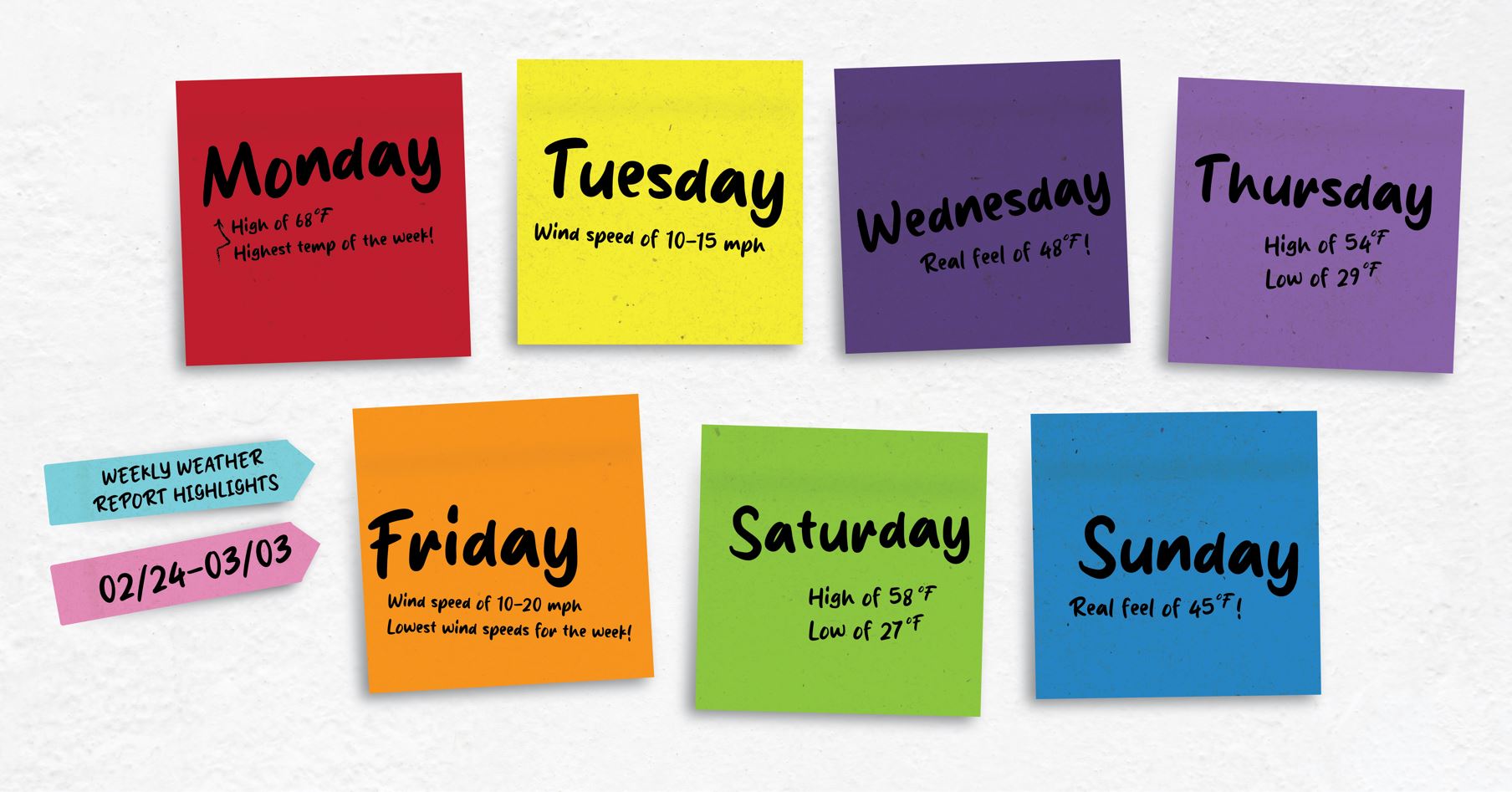
Weekly Look Ahead:
- Monday: HI 68℉ / LO 32 ℉ with a real feel of 68 ℉
- Wind Speed: 10-20 mph
- Tuesday: HI 62 ℉ / LO 38 ℉ with a real feel of 62 ℉
- Wind Speed: 10-15 mph
- Wednesday: HI 54 ℉ / LO 33 ℉ with a real feel of 48 ℉
- Wind Speed: 20-30 mph
- Thursday: HI 54 ℉ / LO 29 ℉ with a real feel of 52 ℉
- Wind Speed: 15-25 mph
- Friday: HI 63 ℉ / LO 33 ℉ with a real feel of 59 ℉
- Wind Speed: 10-20 mph
- Saturday: HI 58 ℉ / LO 27 ℉ with a real feel of 48 ℉
- Wind Speed: 10-20 mph
- Sunday: HI 52 ℉ / LO 33 ℉ with a real feel of 45 ℉
- Wind Speed: 10-20 mph
More information can be found via the National Weather Service.

